
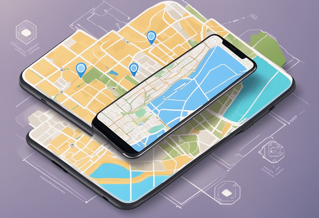
React Native is a popular framework for developing cross-platform mobile applications. It offers a range of features and tools that make it easier for developers to build high-quality apps. One of the most important features of React Native is its ability to integrate with maps and location services. This allows developers to build geospatial apps that can provide users with location-based information and services.
Integrating maps and location services with React Native can be a complex process, but it is essential for building effective geospatial apps. This guide will provide developers with a step-by-step overview of how to integrate maps and location services with React Native. It will cover the basics of working with maps and location data, as well as more advanced topics like geocoding and routing. By following this guide, developers will be able to build powerful geospatial apps that can provide users with accurate and up-to-date location-based information.
Índice De Conteúdo
Setting Up the Development Environment
To start building geospatial apps with React Native, developers need to set up their development environment. This section will guide you through the process of installing React Native and configuring maps and location services.
Installing React Native
React Native can be installed using npm, which is a package manager for Node.js. Developers must have Node.js installed on their system to use npm. After installing Node.js, developers can run the following command to install React Native:
npm install -g react-native-cli
This command installs the React Native command-line interface globally on the system. Developers can verify the installation by running the following command:
react-native --version
If the installation was successful, the version number of React Native will be displayed in the terminal.
Configuring Maps and Location Services
To use maps and location services in a React Native app, developers need to configure the necessary libraries and APIs. The two most popular libraries for maps and location services are Google Maps and Mapbox.
Developers can use the react-native-maps library to integrate Google Maps into their app. They can install the library using npm by running the following command:
npm install react-native-maps --save
To use the library, developers need to obtain a Google Maps API key and add it to their app’s configuration. They can follow the instructions provided by Google to obtain an API key.
For Mapbox, developers can use the @mapbox/react-native-mapbox-gl library. They can install the library using npm by running the following command:
npm install @mapbox/react-native-mapbox-gl --save
To use the library, developers need to obtain a Mapbox access token and add it to their app’s configuration. They can follow the instructions provided by Mapbox to obtain an access token.
Once the libraries and APIs are configured, developers can start using maps and location services in their React Native app.
Building Geospatial Features
Building geospatial features is a crucial step in developing location-based applications. React Native provides developers with a range of tools and libraries to integrate maps and location services into their applications. In this section, we will discuss the key features that developers need to consider when building geospatial features in React Native.
Integrating Map Views
Integrating map views is the first step in building geospatial features in React Native. React Native provides developers with several libraries that enable them to integrate map views into their applications. One of the most popular libraries is the react-native-maps library, which provides developers with a range of features such as map markers, custom overlays, and more.
Implementing User Location Tracking
Implementing user location tracking is an essential feature when building geospatial applications. React Native provides developers with the Geolocation API, which enables them to track the user’s location in real-time. Developers can use this API to build features such as location-based notifications, location-based search, and more.
Adding Custom Map Markers and Regions
Adding custom map markers and regions is another key feature that developers need to consider when building geospatial applications. React Native provides developers with the ability to customize map markers and regions using the Marker and Polygon components. Developers can use these components to add custom icons, labels, and shapes to their maps.
Handling Permissions and Privacy
Handling permissions and privacy is an essential aspect of building geospatial applications. Developers need to ensure that their applications comply with privacy laws and regulations. React Native provides developers with the PermissionsAndroid API, which enables them to request user permissions for accessing location services. Developers can use this API to ensure that their applications comply with privacy laws and regulations.
In conclusion, building geospatial features is a crucial step in developing location-based applications. React Native provides developers with a range of tools and libraries to integrate maps and location services into their applications. By following the best practices and guidelines discussed in this section, developers can build robust and secure geospatial applications.
1 comentário em “Integrating Maps and Location Services with React Native: A Guide”